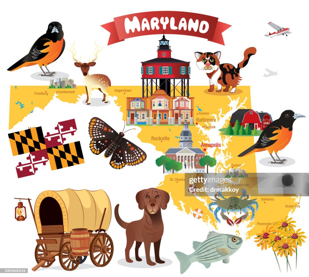
Mappa dei cartoni animati del MARYLAND - Illustrazioni stock
Cartoon map of MARYLAND
I have used
http://legacy.lib.utexas.edu/maps/world_maps/world_physical_2015.pdf
http://legacy.lib.utexas.edu/maps/united_states/fed_lands_2003/maryland_2003.pdf
address as the reference to draw the basic map outlines with Illustrator CS5 software, other themes were created by
myself.

Ottieni questa immagine scegliendo tra varie cornici su Photos.com.
ACQUISTA UNA LICENZA
Tutte le licenze royalty-free comprendono diritti di utilizzo globali, protezione completa e prezzi semplici con sconti sul volume di acquisto
385,00 €
EUR
Getty ImagesMappa Dei Cartoni Animati Del Maryland, Foto stock Scarica da Getty Images autentiche illustrazioni stock premium di Mappa dei cartoni animati del MARYLAND. Esplora illustrazioni stock simili ad alta risoluzione nel nostro vasto catalogo.Product #:1009600316
 Scarica da Getty Images autentiche illustrazioni stock premium di Mappa dei cartoni animati del MARYLAND. Esplora illustrazioni stock simili ad alta risoluzione nel nostro vasto catalogo.Product #:1009600316
385€50€
Getty Images
In stockDETTAGLI
Attestazione:
N. Creative:
1009600316
Tipo di licenza:
Collezione:
DigitalVision Vectors
Max. dimensione file:
5852 x 5244 px (49,55 x 44,40 cm) - 300 dpi - 10 MB
Data di upload:
Luogo:
United States
Info sulla liberatoria:
Liberatoria non necessaria
Categorie:
- Rudbeckia,
- Bandiera del Maryland,
- Maryland - Stato,
- Aberdeen - Maryland,
- America del Nord,
- Animale,
- Animale domestico,
- Animale selvatico,
- Annapolis,
- Baltimora - Maryland,
- Campidoglio di Annapolis,
- Cane,
- Carta geografica,
- Chesapeake Bay,
- Chesapeake Bay retriever,
- Comico,
- Composizione orizzontale,
- Cowboy,
- Delaware,
- Farfalla,
- Farfalla Checkerspot,
- Fauna selvatica,
- Felicità,
- Fiore,
- Frederick,
- Fumetto - Creazione artistica,
- Gatto domestico,
- Gatto tricolore,
- Granchio blu,
- Humour,
- Illustrazione,
- Oceano Atlantico,
- Oriolo di Baltimora,
- Persico spigola,
- Pesce,
- Rockville - Maryland,
- Salisbury - Maryland,
- Senza persone,
- Stati Uniti d'America,
- Turismo,
- Uccello,
- Vettoriale,
- Viaggio,
- Washington DC,
- Zoologia,