Mappa di Los Angeles - Illustrazioni stock
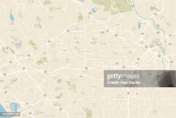
A detailed map of the central area of Los Angeles, including Downtown, Hollywood, and Beverly Hills as well as areas south of Interstate 10. Includes major roads as well as highways, freeways, neighborhoods and points of interest, all on separate layers. An extra-large JPG is included so you can crop in to the area you need.

Ottieni questa immagine scegliendo tra varie cornici su Photos.com.
ACQUISTA UNA LICENZA
Tutte le licenze royalty-free comprendono diritti di utilizzo globali, protezione completa e prezzi semplici con sconti sul volume di acquisto
385,00 €
EUR
Getty ImagesMappa Di Los Angeles, Foto stock Scarica da Getty Images autentiche illustrazioni stock premium di Mappa di Los Angeles. Esplora illustrazioni stock simili ad alta risoluzione nel nostro vasto catalogo.Product #:165726700
 Scarica da Getty Images autentiche illustrazioni stock premium di Mappa di Los Angeles. Esplora illustrazioni stock simili ad alta risoluzione nel nostro vasto catalogo.Product #:165726700
385€50€
Getty Images
In stockDETTAGLI
Attestazione:
N. Creative:
165726700
Tipo di licenza:
Collezione:
DigitalVision Vectors
Max. dimensione file:
5564 x 3738 px (47,11 x 31,65 cm) - 300 dpi - 4 MB
Data di upload:
Info sulla liberatoria:
Liberatorie per modello e proprietà disponibili
Categorie:
- Carta geografica,
- Los Angeles - Contea,
- Los Angeles - Città,
- Mappa della città,
- Vettoriale,
- Beverly Hills,
- Mappa stradale,
- California,
- Hollywood - Los Angeles,
- Santa Monica - Los Angeles,
- Centro della città,
- Rodeo Drive,
- Westwood - Los Angeles,
- Illustrazione,
- Autostrada,
- Chinatown,
- Stati Uniti d'America,
- Autostrada a corsie multiple,
- Città,
- Sunset Boulevard,
- Sunset Strip,
- Venice - California,
- Bel-Air,
- Cartografia,
- Century City,
- Culver City,
- Dodger Stadium,
- Melrose Avenue,
- Parco Griffith,
- Santa Monica Boulevard,
- Senza persone,
- Silver Lake - Los Angeles,
- Strada,
- Trasporto,
- Università della California meridionale,
- Via,
- West Hollywood,
- Wilshire Boulevard,