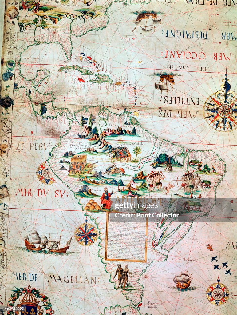
French Map of Central and South America, French, 1550.
French Map of Central and South America, French, 1550. Map showing Florida, the Gulf of Mexico, the Caribbean islands and Antilles, and South America with the River Plate prominent. It features illustrations including conquistadors in Peru, cannibals, gold mines and parrots. From the British Museum. (Photo by Ann Ronan Pictures/Print Collector/Getty Images)

ACQUISTA UNA LICENZA
Come posso utilizzare questa immagine?
385,00 €
EUR
Getty ImagesFrench Map of Central and South America, French, 1550., Foto di attualità French Map of Central and South America, French, 1550. Scarica foto di attualità Premium ad elevata risoluzione da Getty ImagesProduct #:463924993
 French Map of Central and South America, French, 1550. Scarica foto di attualità Premium ad elevata risoluzione da Getty ImagesProduct #:463924993
475€175€
Getty Images
In stockNota: le immagini che ritraggono eventi storici potrebbero contenere soggetti, o avere descrizioni, che non riflettono le concezioni attuali. Vengono presentate in un contesto storico. Per saperne di più.
DETTAGLI
Restrizioni:
Contatta l'ufficio locale per informazioni su qualsiasi tipo di uso commerciale o promozionale.
Attestazione:
N. Editorial:
463924993
Collezione:
Hulton Archive
Data di creazione:
1 gennaio 1753
Data di upload:
Tipo di licenza:
Info sulla liberatoria:
Senza liberatoria. Ulteriori informazioni
Fonte:
Hulton Archive
Codice a barre:
390003127
Nome oggetto:
1156372
Max. dimensione file:
3256 x 4324 px (27,57 x 36,61 cm) - 300 dpi - 10 MB
- Carta geografica,
- America del Sud,
- Esplorazione,
- Francia,
- XVI° secolo,
- America Centrale,
- Cannibalismo,
- Impero,
- Nave,
- Stile del XVI secolo,
- Adulto,
- Arte, Cultura e Spettacolo,
- Composizione verticale,
- Concetti e temi,
- Direzione,
- Fiume,
- Geografia fisica,
- Immagine a colori,
- Isola,
- Mare,
- Mezzo di trasporto marittimo,
- Persone,
- Regno Unito,
- Tabella,
- Trasporto,
- Uomini,